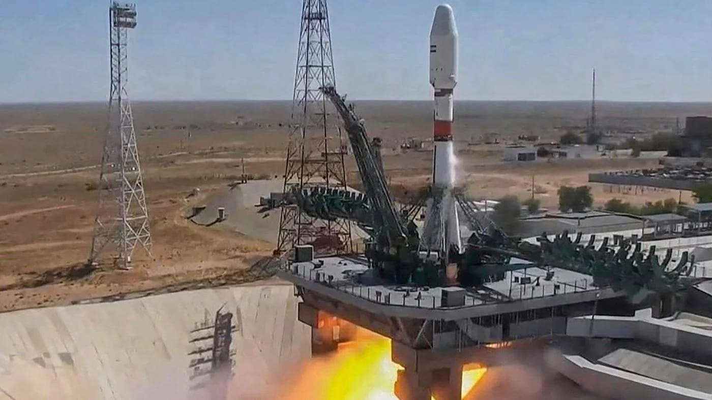
Iran has successfully launched its remote sensing and imaging satellite, called “Pars 1,” on Thursday morning. The country has received signals from this satellite, launched from Russia’s Vostochny launch base using a Soyuz launcher.
This Iranian satellite will be able to send high-resolution images of regions from its orbit at 500 km above Earth. Reportedly, the rocket also transported the weather satellite of Russia along with seventeen of the country’s small satellites.
Headed by the Iranian Space Research Institute, Iran’s satellite design and overall functionality are considered groundbreaking innovations in the country’s space research programs. During a press conference held before the launch, Iranian Minister of Information and Communication Technology, Issa Zarepour, stated,
Pars 1, an imaging satellite, has been entirely produced within Iran.
He also said that many satellite programs are underway and are scheduled to launch in 2025.
The Pars 1 satellite, weighing 134 kg, comes under Iran’s research and measurement satellite projects. To have the most efficient and high-resolution images, this low-earth orbit satellite also carried a 15-meter camera to send surface location images from above.
Pars 1 has three imaging cameras that can capture visible, short-wave infrared, and thermal infrared spectral ranges. Reports suggest that the thermal infrared camera, which includes imaging at night, is capable of imaging the whole country within 45 days. Moreover, the color spectrum and short-wave infrared camera are also equipped with technologies that can cover 95% of Iran’s territory within 100 days.
This latest Iranian satellite can perform various tasks other than imaging. It can conduct solar panel mechanism tests, orbit correction with cold gas pressure, power management tests, and more.
Additionally, the advanced technologies used in the Pars 1 satellite include several frequency band telecommunication links, GPS positioning sensors, and many other features.


